Canadian data sources
By Kyle • May 20, 2026
There is a lot of geographic data available in Canada and Nova Scotia. You just have to know how to find it.
The first site to visit is GEO.ca which is the definitive source for Canada’s open geospatial information. You can use the site to search for open data contributed by federal, provincial and territorial governments. The data is licensed under Canada's Open Government License.
The second site to visit is GeoNova.ca which is the Nova Scotian equivalent. If you want, you can request to have data copied to a hard drive of your own. And then you can access a 7 TB LiDAR scan of the province without a network connection. Bargin.
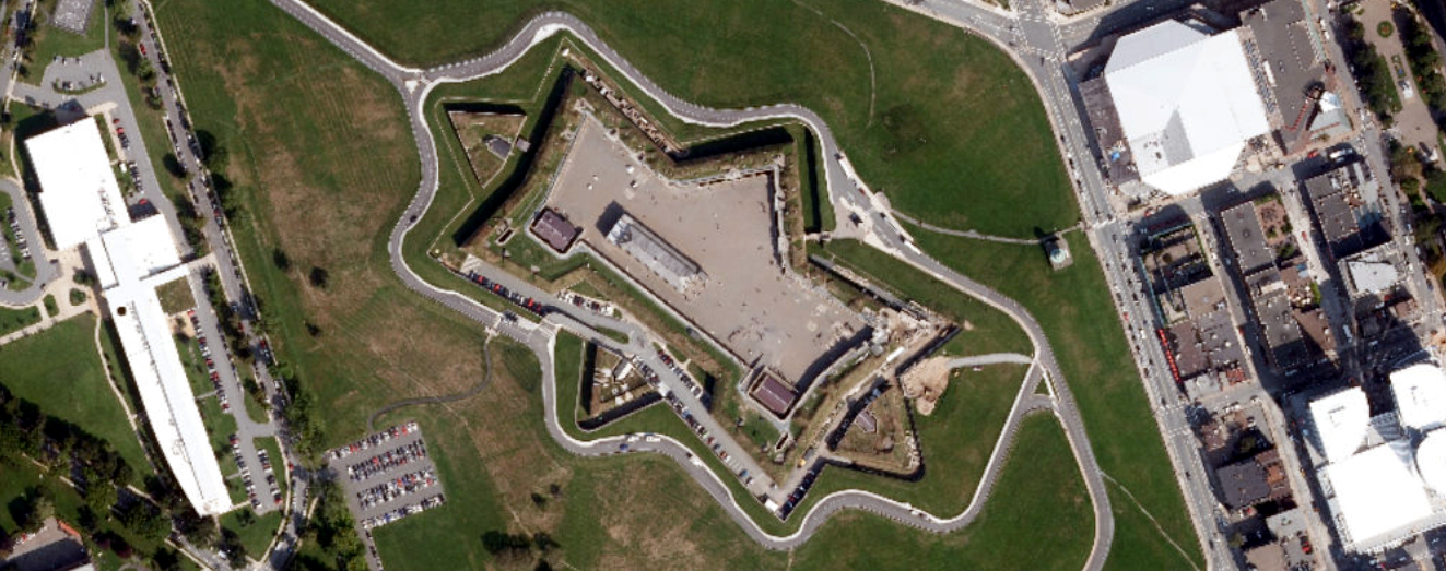
If you keep searching, you'll find the Map Server I used to crop the aerial orthophoto of the Halifax Citadel. Unfortunately, Halifax was last photographed back in 2017 and the city has changed a lot since then. That said, other areas are up to date as of last year. And the quality is a lot better than your regular satellite mosaic.
Finally, you'll find GIS data provided by the Department of Natural Resources. I imagine most of these maps have been upgraded from ArcView (discontinued; 1991–2002) to ArcGIS but you never know. It's fun to take a peek regardless. The shapefiles can be opened in QGIS.
And as an added bonus the technical specifications of Nova Scotia's Topographic Database which has instructions on how to georeference a sketch using survey monuments. Neat!